
具体描述
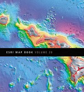
How do airline pilots avoid hitting flocks of birds? How do businesses know where to locate the most profitable branches? How do conservation groups monitor species, prioritize conservation efforts, and conduct environmental reviews? Find the answers to these questions in ESRI Map Book Volume 20, and learn how geographic information system (GIS) technology is the common thread among these disparate groups. Covering more than 20 disciplines, the examples in this book show us how GIS is used as a framework for collaboration and enables us to observe, measure, analyze, plan, and take action. It is helping people around the world integrate information from many sources and create the future.
作者简介
目录信息
读后感
评分
评分
评分
评分
用户评价
相关图书
本站所有内容均为互联网搜索引擎提供的公开搜索信息,本站不存储任何数据与内容,任何内容与数据均与本站无关,如有需要请联系相关搜索引擎包括但不限于百度,google,bing,sogou 等
© 2026 book.wenda123.org All Rights Reserved. 图书目录大全 版权所有


