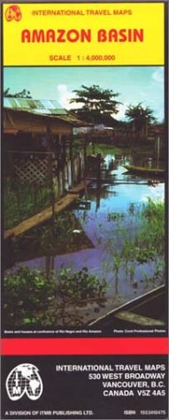

Scale 1:4,000,000. Printed on one side.
Detailed regional map includes portions of Bolivia, Brazil, Colombia, Ecuador, the Guyanas, Peru, Surinam, and Venezuela. Elevations shown by color changes.
Legend locates cities and settlements of all sizes; roads from highways to unpaved roads; trails. Also airports and airstrips; railways. Hydrographic features such as glaciers, waterfalls, non-perennial streams, swamps and seasonally inundated land. Lighthouses; mines; wells; active volcanoes; ruins and other points of interest.
List of national parks and other protected areas. Glossary of abbreviations of geographic features translated into English, Spanish & Portuguese.
具體描述
讀後感
評分
評分
評分
評分
用戶評價
相關圖書
本站所有內容均為互聯網搜索引擎提供的公開搜索信息,本站不存儲任何數據與內容,任何內容與數據均與本站無關,如有需要請聯繫相關搜索引擎包括但不限於百度,google,bing,sogou 等
© 2025 qciss.net All Rights Reserved. 小哈圖書下載中心 版权所有


