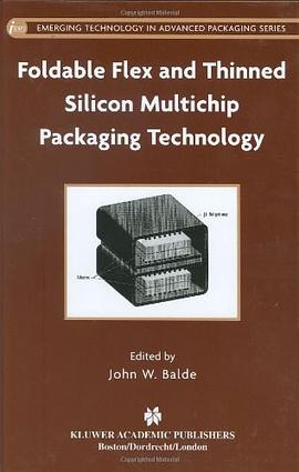

This monograph provides a unified approach to distributed parameter hydrologic modeling using Geographic Information Systems (GIS). Hydrologic models that can utilize the information content of global digital datasets offer tantalizing prospects for improved simulation of surface runoff processes. As data from newly deployed remote sensing platforms come online, hydrologic modeling techniques must keep pace with such high-resolution data. As soon as we embark on simulating hydrologic processes using these digital datasets with GIS, we must address the issues that are the subject of this book, which are the spatial and temporal characteristics of radar rainfall (NEXRAD), topography, soils, and land use/cover. Distributed modeling is demonstrated through case studies and an appendix that sets forth model results using Arc.water.fea. Comparison of model results with observed flood events demonstrates the importance of incorporating spatial variability into model parameters affecting the transformation of precipitation into surface runoff at the river basin scale. Audience: This volume will be valuable for faculty members, seniors and graduate students, practitioners from civil, agricultural, water resources and environmental engineering fields, hydrologists, physical geographers, and hydrometeorologists engaged in hydrologic modeling.
具體描述
讀後感
評分
評分
評分
評分
用戶評價
相關圖書
本站所有內容均為互聯網搜索引擎提供的公開搜索信息,本站不存儲任何數據與內容,任何內容與數據均與本站無關,如有需要請聯繫相關搜索引擎包括但不限於百度,google,bing,sogou 等
© 2025 qciss.net All Rights Reserved. 小哈圖書下載中心 版权所有


