

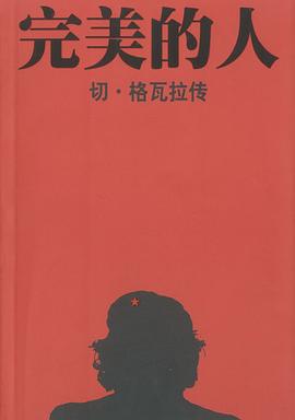
具体描述
First published in the 1970s, the Collins/Nicholson guides to the waterways are designed for anyone and everyone with an interest in Britain’s inland waterways—experienced boaters and those planning their first boat trip, walkers, cyclists, and visitors. Maps show locks, bridges, tunnels, aqueducts, winding holes, and the towpath; waterpoints, sanitary stations, pump out facilities, and refuse disposal; boatyards, pubs, restaurants, and shops; andmile markers and milestones (distance in miles and number of locks to strategic points along the waterways). Text includes the history of each canal; local services and places of interest, pubs and restaurants; and opportunities for walking and cycling. Comprehensive navigational notes include maximum dimensions and low bridges; mileages, advice, and potential hazards; and navigation authorities and contact details. Waterways covered in this guide: Caldon and Leek Canals, Llangollen Canal, Monmouthshire & Brecon Canal, Neath & Tennant and Swansea Canals, Montgomery Canal, Shropshire Union Canal, Staffordshire & Worcestershire Canal, Trent & Mersey Canal, andRiver Weaver.
作者简介
目录信息
读后感
评分
评分
评分
评分
用户评价
相关图书


本站所有内容均为互联网搜索引擎提供的公开搜索信息,本站不存储任何数据与内容,任何内容与数据均与本站无关,如有需要请联系相关搜索引擎包括但不限于百度,google,bing,sogou 等
© 2026 book.wenda123.org All Rights Reserved. 图书目录大全 版权所有